Humanitarian OpenStreetMap Team
Community owned drone mapping at city scale
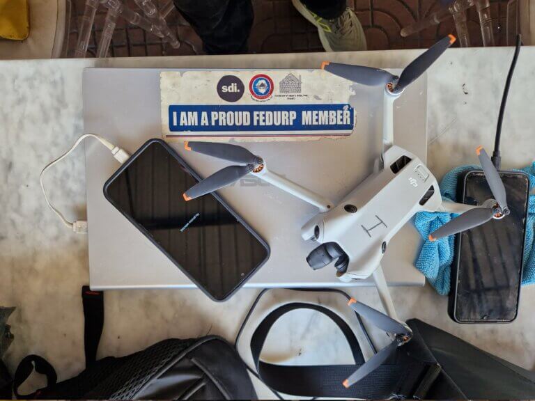
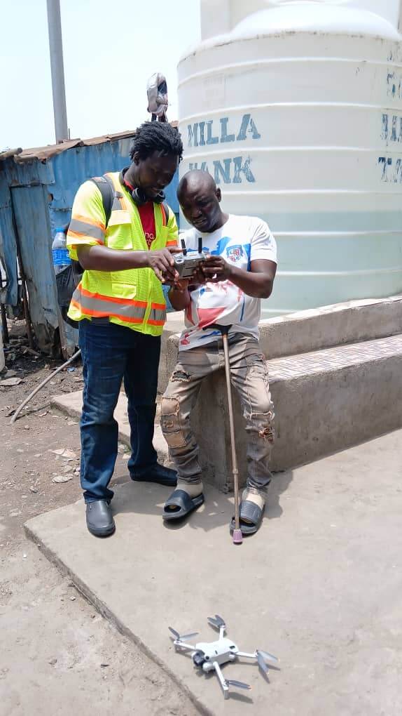
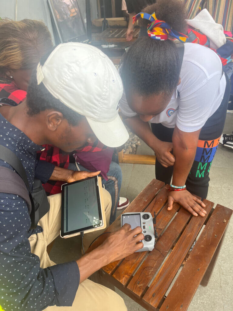
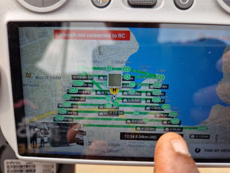
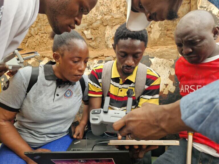
One billion people globally live in informal settlements not accurately recorded on maps, leaving governments unable to plan housing, services, or disaster response. To address this, the Humanitarian OpenStreetMap Team has developed a community drone mapping model that enables local crews to produce commercial grade imagery using lightweight drones and open tools, at a fraction of traditional cost.
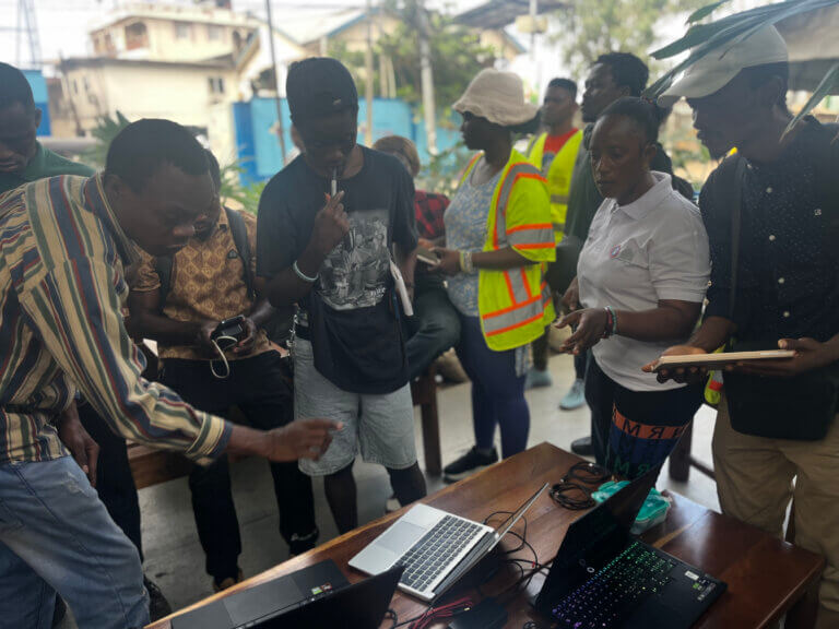
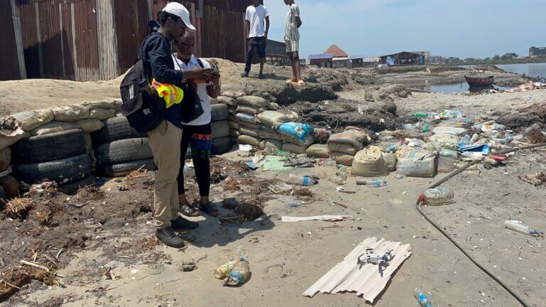
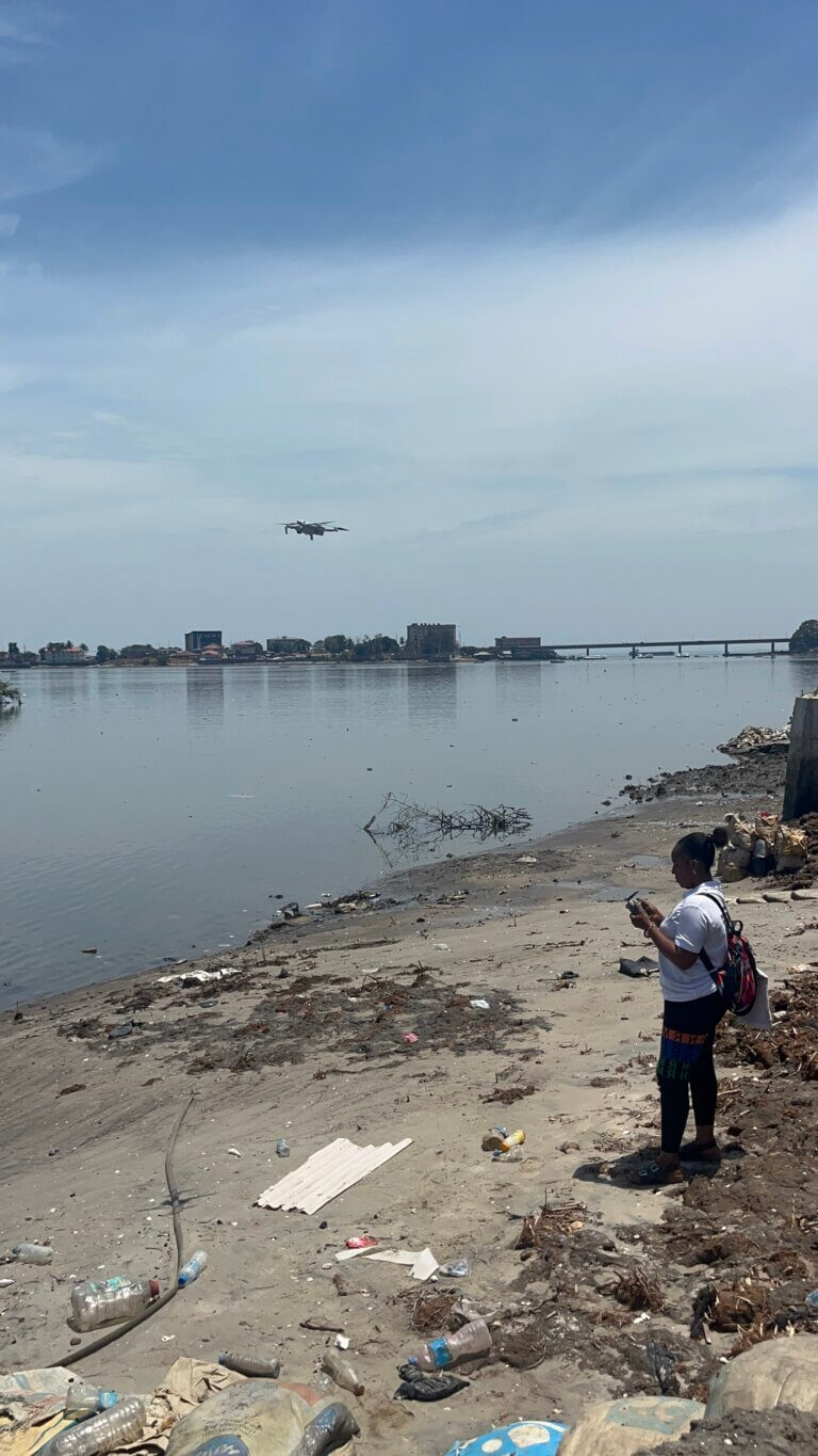
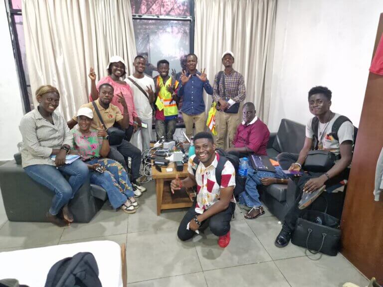
Following great success in Freetown, where residents trained as drone pilots captured more than 130,000 high-resolution images, the Humanitarian OpenStreetMap Team is adapting the model for replication to secondary cities in Sierra Leone and Dakar, Senegal. With a model relying on collaboration with municipal governments and the upskilling of residents, testing and adaptation to each context is crucial for sustainability.
See their work at hotosm.org